
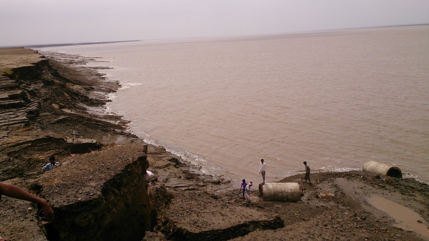
Scientists from the Ahmedabad-based Space Applications Centre (SAC) of Indian Space Research Organisation (ISRO) have reported extensive erosion of mudflats by studying sequential satellite images. Scientists analyzed temporal satellite images to understand the hydrodynamics and coastal processes along the northern part of the Gulf of Khambhat
Internet is huge! Help us find great content
Never miss a thing! Sign up for our newsletter to stay updated.
Research Stash is a curated collection of tools and News for S.T.E.M researchers
Have any questions or want to partner with us? Reach us at [email protected]