New Technique Developed to Monitor Coastal Landforms

New Technique Developed to Monitor Coastal Landforms

  • News
  • 1.6K
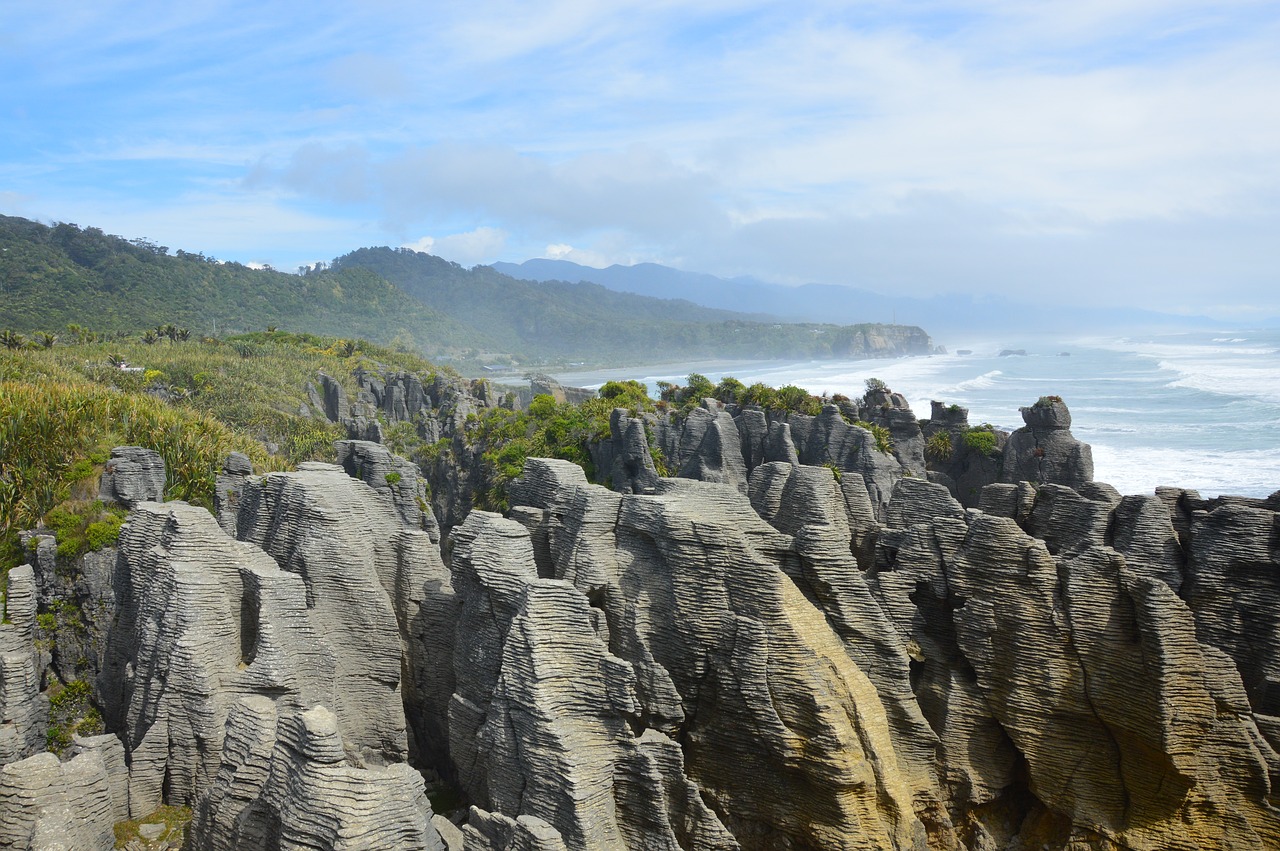
Indian Scientists have developed a remote sensing technique that uses satellite data to delineate between various coastal landforms like beaches, mangroves, and marshes.
Read more

Internet is huge! Help us find great content

Newsletter

Never miss a thing! Sign up for our newsletter to stay updated.

About

Research Stash is a curated collection of tools and News for S.T.E.M researchers

Have any questions or want to partner with us? Reach us at hello@researchstash.com

Navigation

Submit